Turning data into decisions
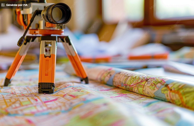
At CACEG Innovation, our Geospatial Consulting services help organizations harness spatial data for smarter decision‑making. We provide GIS analysis, urban planning support, and environmental studies that transform raw data into actionable insights. By integrating modern software and customized solutions, we empower businesses, governments, and communities to plan effectively and sustainably.
Why choose us
We turn complex geospatial data into clear strategies that drive growth, sustainability, and innovation.
Data Expertise
Our GIS specialists deliver precise analysis that supports informed decision‑making.
Strategic Insight
We provide actionable recommendations that align with your goals and industry needs.
Custom Solutions
Tailored consulting services designed to fit diverse industries and unique challenges.
Future‑ready Tools
Integration of modern software ensures scalability and long‑term efficiency.
Services offered
-
GIS Consulting:
Expert guidance on implementing and optimizing Geographic Information Systems. -
Spatial Data Analysis:
Transforming raw data into meaningful insights for planning and development. -
Urban Planning Support :
Helping cities design sustainable and efficient growth strategies. -
Environmental Impact Studies:
Assessing projects for ecological sustainability and compliance. -
Custom Geospatial Solutions:
Bespoke tools and models tailored to client needs.
Popular questions
What industries benefit from geospatial consulting?
Industries like construction, urban planning, agriculture, and government benefit from geospatial insights.
Do you provide environmental studies?
Yes, we conduct detailed impact assessments to ensure projects meet sustainability standards.
Can you integrate GIS with existing systems?
Absolutely. We customize GIS solutions to fit seamlessly into your current workflows.
How accurate is your data analysis?
Our analysis uses advanced tools and methodologies to ensure maximum precision.
Do you offer training?
Yes, we provide training sessions to help teams effectively use geospatial tools.